
Gschnitztal hut star
A shining star rises over the hiking paradise and mountaineering village of Gschnitztal
What could be nicer than stopping off at a mountain hut on a hike through the mountains? Sitting on the terrace while your gaze wanders over the surrounding peaks? Enjoying a few regional delicacies while your everyday life gradually disappears on the horizon? Hike through the Gschnitztal valley and its six mountain huts from your base camp in the valley, with a light daypack, always adapting the tours to the weather and your condition on the day.
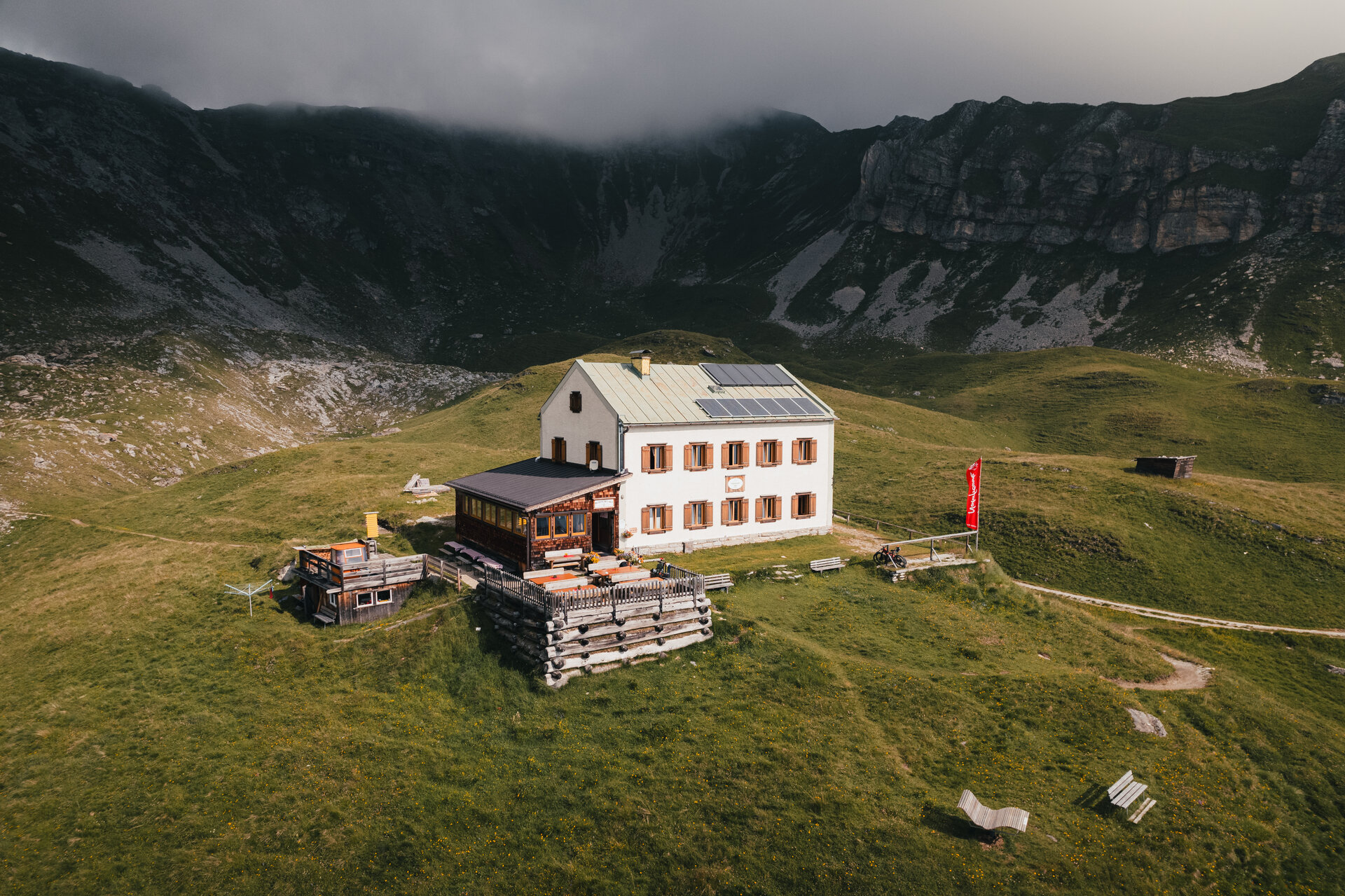
Six huts are located above the mountaineering village of Gschnitztal, each one unique. The hikes lead you in a star shape on lovingly laid out and well-marked paths along clear mountain streams, through dense forests, across green alpine meadows and sometimes through more rugged alpine terrain. You'll recharge your batteries along the way as you breathe in the clear mountain air. You recharge your batteries before returning to your accommodation in the valley in the evening, happy and content. Gschnitztal hut star - you don't need more than a daypack.
Highlights
- Hike to six rustic mountain huts in a star shape
- Enjoy your hikes with your lightweight daypack
- Discover the uniqueness of the mountaineering village of Gschnitztal
- Choose the accommodation that best suits your needs
For all diligent star collectors
If you have hiked to 5 of the 6 participating huts, you will receive a branded Hüttenstern T-shirt from us. So get your stamp pass for the Gschnitztal Hüttenstern from our office before your first tour and off you go.
News:
The Tribulaun Hut is once again accessible via the Hüttensteig trail (#127). Alternatively, you can still hike up from Gschnitz via the forest road or the Gargglerin trail (#63).
To reach the Innsbrucker Hütte, you can ascend from the Feuerstein parking lot via the steep Normalweg trail (#60) or from Gschnitz via the Jubiläumssteig trail (#123).
Tour character
The routes are mainly on red, i.e. moderately difficult mountain trails. If you wish, you can extend your tours and climb a summit or a yoke. The sections that go beyond the huts are sometimes more challenging and may also be exposed - promising real alpine adventures.
Important note
You can find the current opening hours of the huts here: Hut opening times
Please find out before your tour whether your chosen hut is open.
The star tips at a glance
Sternspitze 1: Trunahütte
From Trins you start in the direction of the Liftstüberl on the Gschnitzbach before following the markings to the Trunahütte and trail no. 125. The path is a little steeper through the forest, so take your time. The short detour to the Truna waterfall is recommended. From there, where the trail joins forest trail no. 525, it is only 2 more hairpin bends to your destination for the day, the Truna hut. After your well-earned rest, follow forest trail no. 525 in a leisurely up and down until you leave it shortly before the Gerichtsherrenalm for hiking trail no. 40. Follow the marked paths back to the village center of Trins.
Alternative: If you would like to extend your hiking day, we recommend hiking from the Trunahütte via a forest path and later via trail no. 78 to the Egger Joch. Via the Lichtsee trail no. 42, you will reach the beautifully situated Lichtsee lake in a wide arc and, after a further ascent, the Trunajoch. Enjoy one last view of the Zillertal and Stubai Alps from here before hiking back to Trins via the Trunahütte.
Tour data: 615 ↑ 615 ↓ 12KM 4.5 hours (without variant)
Sternspitze 2: Gschnitztal Tribulaunhütte
You start at the end of the Gschnitztal valley at the Gasthof Feuerstein bus stop or at the Feuerstein parking lot (directly behind Gasthof Feuerstein), where you have two options for the ascent to the hut:
The Hüttensteig trail (#127) begins to the left of the former Mühlendorf. To the left of the Sandeswaterfall, the trail leads you through the forest before heading into rougher terrain. Please note that we advise against using this approach immediately after heavy rainfall.
A few meters past the parking lot, the forest road (#59) branches off to the left toward the Gschnitzer Tribulaun Hut. After a few switchbacks, you’ll hike through the forest up into the Sandes Valley. Soon you’ll leave the forest behind, and your path will run almost parallel to the Sandesbach stream.
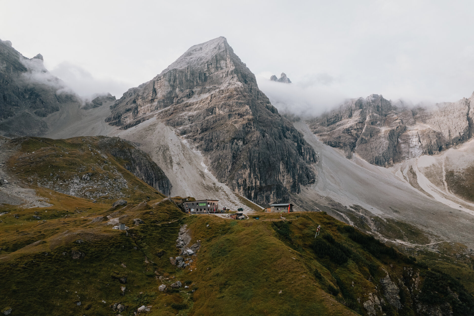
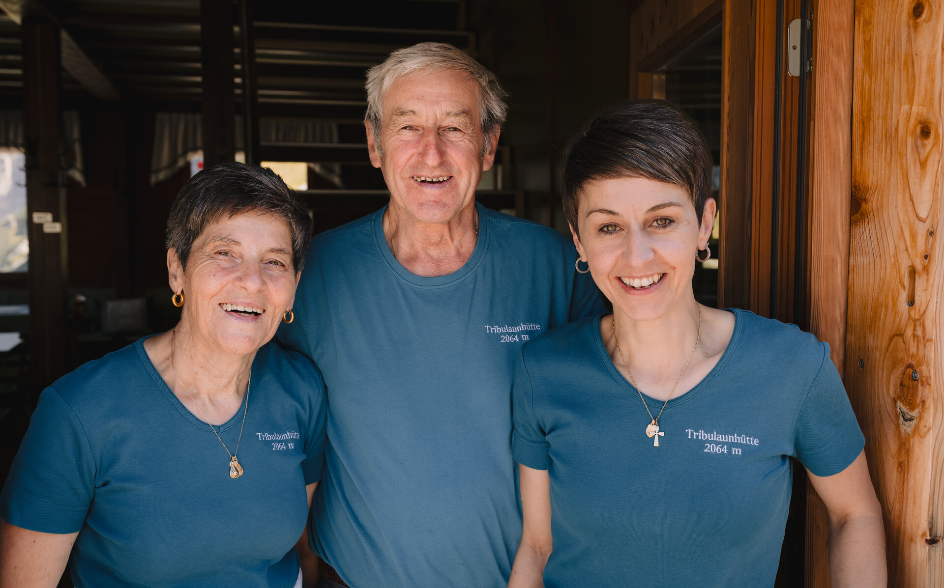
On both trails, the view ahead becomes more impressive with every step: you’re heading toward the striking peaks—above all, of course, the Gschnitzer and Pflerscher Tribulaun. After a good 2.5 hours, you’ll reach the Gschnitzer Tribulaunhütte, one of two Nature Friends huts high above the mountaineering village of Gschnitztal. First, enjoy the warm hospitality and delicious regional cuisine offered by your hosts. You’ll hike back down to the valley along the forest road, which is easy on the knees.
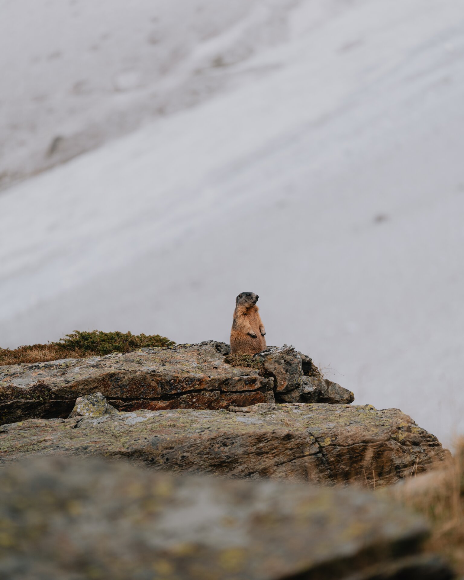
Tip: Beforehiking back down to the valley, we recommend (weather permitting and if you still have enough energy in your legs) a detour to the Sandesjöchl. Trail No. 63 leads you there in a striking yet safe route through the wide gravel cirque, past the foot of the Gschnitzer and Pflerscher Tribulaun; keep following the turnoffs toward Sandesjöchl/Pflerscher Tribulaunhütte. At Sandesjöchl, you’ve reached the border between Austria and Italy, but by no means the border between the Tyrolean and South Tyrolean Wipptal. With a bit of luck, you might spot a few ibexes here before you begin your descent back into the Gschnitztal (trails 61 and 59).
Tour details: 790 ↑ 790 ↓ 15 KM 5.5 hours (excluding Sandesjöchl)
Alternative route:If you prefer a more challenging hike, continue following the road from the Feuerstein parking lot further into the valley before turning left onto trail #63 toward the Gargglerin. This trail winds through the forest in numerous switchbacks and then climbs quite steeply up to the Gargglerin junction, where you can decide whether you want to make the detour to the summit (plus 150 m elevation gain/loss). From this fork, it’s still about an hour and a half to the hut. To get there, you’ll traverse the meadow slope for a long time on a narrow trail until only the spectacular path through the scree fields at the foot of the Tribulaune separates you from your destination. Good physical condition and sure-footedness are essential for this route.
Tour details: 1,055 m ↑ 1,055 m ↓ 15 km 7 hours (excluding Gargglerin)
Sternspitze 3: Bremer Hütte
From Gasthof Feuerstein, you set off quite comfortably along the Gschnitzbach stream on trail no. 02 towards Laponesalm. Continue along the forest path until you follow the markings to the Bremer Hütte on the right. You will quickly gain altitude in the forest along many hairpin bends before you continue through beautiful terrain towards the waterfall, which can be seen from afar. After a final hairpin bend, a high plateau lies at your feet, through which the Simmingbach stream meanders gently. Now the final ascent to the hut is even steeper, but the views are increasingly beautiful. You will soon discover the marshy Simmingsee to your right, while the terrain to your left is reminiscent of the glacier hikes before your time. Once you arrive at the Bremer Hütte, you have earned a break (descent = ascent).
Alternative: If you want to experience a little something special today, then climb down the rope-insured chimney from the hut towards Lauterersee (absolute surefootedness and a head for heights/no via ferrata set required). From the lake, follow the trail out of the valley until it ends on trail no. 124 (Gschnitztaler Hüttentour/Stubaier Höhenweg). Follow trail no. 124 to the right (!) until you reach your ascent route again, on which you hike back down into the valley. We only recommend this variant to experienced mountaineers.
Tour data: 1,135 ↑ 1,135 ↓ 12KM 6.5 hours (without variant)
Sternspitze 4: Innsbrucker Hütte
The starting point for today’s hike is the Gschnitz Gemeindesaal bus stop or the Innsbrucker Hütte parking lot just past Gschnitz. Follow the Jubiläumssteig trail (#123) to gain the first few meters of elevation through a forest that grows increasingly sparse, before following a series of switchbacks below the Kalkwand. Soon you will have covered most of the elevation gain; from here, follow the trail through impressive terrain until the Innsbrucker Hütte comes into view. Now you’ll hike past the Pinnisjoch, the “border” between the Stubai Valley and the Wipp Valley, before you’ve earned a rest at the hut.
Alternatively, you can follow the markings of the standard trail (#60) to the Innsbrucker Hütte starting from the Gschnitz/GH Feuerstein bus stop or the Feuerstein parking lot at the valley station of the material cable car. The trail quickly gains elevation through numerous switchbacks. Once you reach an altitude of approximately 2,000 meters, the path becomes significantly flatter. You are now on a small plateau and heading directly toward the imposing rock towers surrounding the Innsbrucker Hütte. You are welcome to combine the two trails. In this case, we recommend the Jubiläumssteig for the descent, as it is significantly flatter.
Variation: If you’re still up for a summit, we recommend the Kalkwand. To do this, follow the trail markers toward Kalkwand/Ilmspitzen starting from the Pinnisjoch. By the time you leave the small gravel cirque, a head for heights and sure-footedness are essential. The views from the Kalkwand of the mighty Tribulaune and the Habicht are simply breathtaking.
Tour details: 1,095 m ↑ 1,095 m ↓ 8.5 km, 6 hours (without variant)
Sternspitze 5: Padasterjochhaus
From the end of the village of Trins, follow the hiking signs towards Padasterjochhaus. Keep left at the small chapel of St. Barbara and quickly gain altitude alongside the forest path. At a prominent crossroads (continue right to the Blaserhütte), follow the meadow path no. 122. Once you reach forest path no. 577, you always have the option of taking this path or the shorter Herrensteig path no. 7 towards Padasterjochhaus. Once you arrive at the oldest Naturfreundehaus, you should take the time to enjoy the breathtaking view of the Tux Alps and the Tribulaune from the hut terrace. Your destination for the day is framed by the beautiful panoramic peaks of Foppmandl, Wasenwand and Hammerspitze. Your way back more or less follows your ascent, and you can avoid some of the steeper sections of the Herrensteig via the forest path to protect your knees.
Variation: As you have already climbed almost 1,000 meters up to the Padasterjochhaus, we recommend that you complete today's tour with a detour to the Padasterkogel if you are motivated. The views down to the mountaineering village of Gschnitztal are sure to surprise you.
Tour data: 995 ↑ 995 ↓ 13KM 5.5 hours (without variant)
Star peak 6: Blaserhütte
From Trins you start in the direction of Hotel Zita, but at the first crossroads follow the hiking signs to Blaserhütte. At the edge of the forest, take trail no. 11/30 and hike in a few hairpin bends to the Adlerblick junction (approx. 5 minutes from the junction, beautiful view of Trins). Continue along hiking trail no. 11/30 quite steeply uphill through the forest, crossing a forest path a few times. At an altitude of approx. 1,800 meters, the forest thins out and you find yourself on sunny mountain meadows. The higher you climb past the Holzstadeln, the more the view opens up over the Wipptal valley, especially over the Gschnitztal valley. You now reach forest trail no. 523 and can decide at any time whether to follow this or the shortcut trail no. 11/13. After approx. 3 hours you have reached the Blaserhütte, you are now in view of the Tribulaune, the Kirchdachspitze and the Peilspitze. After your well-earned rest at the Blaserhütte, follow your ascent route into the valley, but then keep to signpost no. 13 towards Pflutschwiesen. Before you reach Steinach, turn right and take hiking trail no. 13A back to Trins.
Variation: It is also worth climbing the last 65 meters up to the Blaser, from here you have a magnificent view over to the Serles and down to the Maria Waldrast monastery.
Tour data: 1,030 ↑ 1,030 ↓ 13KM 5.5 hours (without variant)


Best time to go on a tour
Late June through mid- to late September. In recent years, fall has become a hidden gem, but please check here in advance to see which huts are still open.
Dates and Prices
Dates for 2026: Daily tours available starting in mid-June.
Prices/Accommodations for 2026:
Starting at €715 per person in a double room (e.g., ***Hotel Kirchdach/Hotel Zita/Alpengasthof Hohe Burg, including half-board)
Starting at €605 per person in a double room (e.g., Wienerhof/Alfaierhof, including breakfast)
Starting at €405 per person in a vacation apartment (meals not included)
Single room supplement available upon request
For more accommodations and information, visit www.wipptal.at