
A trip to Lichtsee with the whole family:...
Family Hike with Children in the Wipptal Valley - Gondola Ride,...
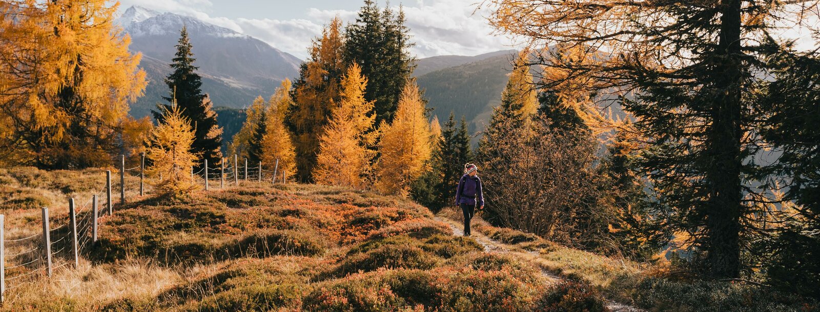

When the mountain meadows and forests slowly take on a reddish hue and visibility in the mountains becomes clearer again, a quieter yet still active season begins in the mountains. Fall is ideal for hiking and mountain biking—actually, it’s even better than summer. The temperatures are pleasant, and you can even sleep in and start your mountain hike a little later. When planning your hike, be sure to choose routes that run along south-facing mountain slopes to get the most sun. Depending on the weather and snow conditions, hikes can be done well into December.
Here are a few tour suggestions for hikes and mountain bike rides from our site, designed to help you choose. You can also find detailed information about each tour at any time in our tour planner.
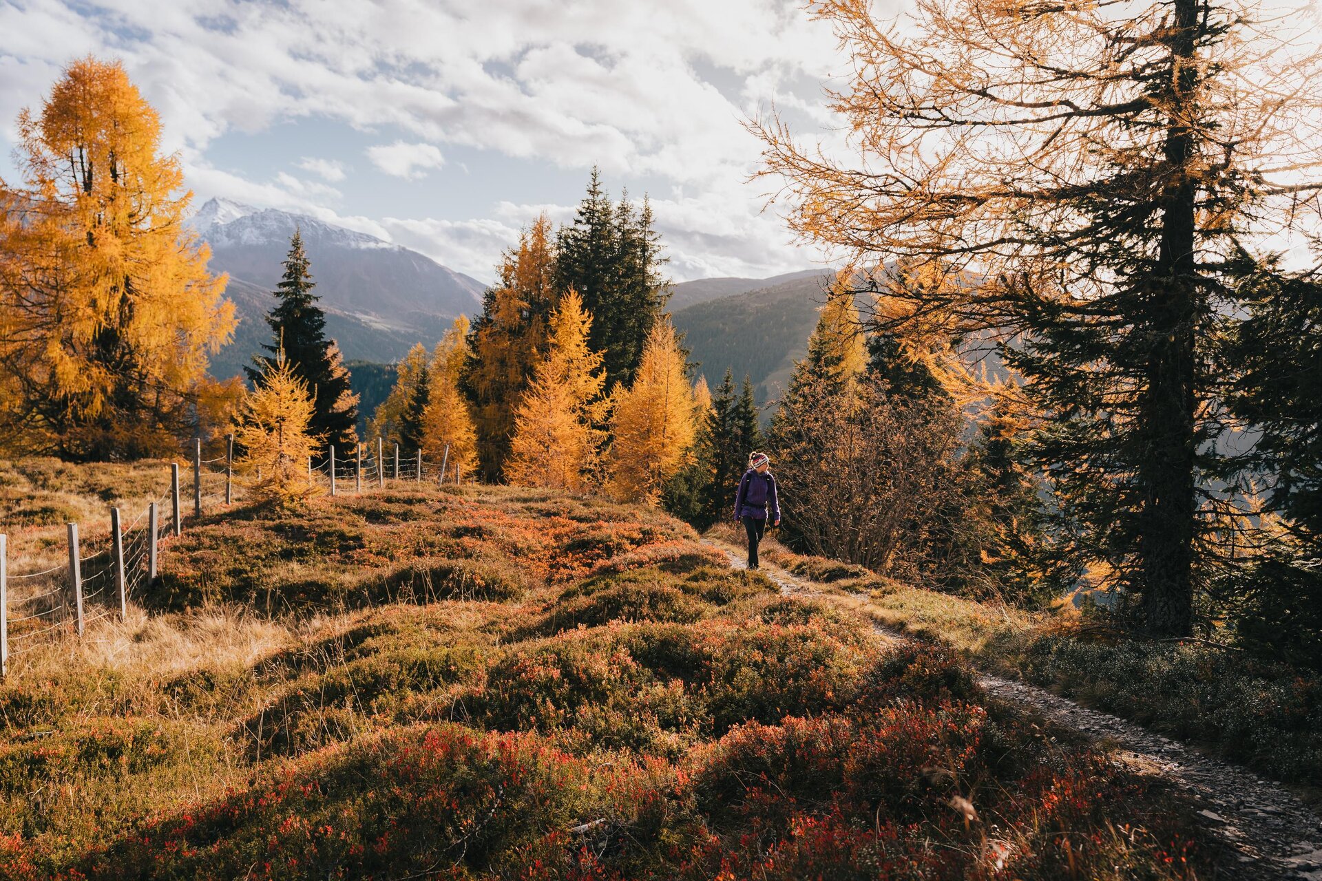
The Padaun High Plateau offers wonderful opportunities for every type of day-tripper or hiker to explore the area. Those who want to take it easy can take a stroll to the “Blinder Herrgott” chapel. For the more athletic among you, a hike up the Padauner Kogel is a great option. But in either case, you absolutely must stop for refreshments afterward at the Steckholzer Mountain Inn.
The trail to the Padauner Kogel starts at the parking lot above the Steckholzer mountain inn and follows the paved road further into the valley until you reach the last farm. There, Trail 83 begins to ascend to the right. The well-marked trail climbs gently, initially through the forest and then through beautiful mountain meadows. From the summit, marked by a cross, you have a wonderful view of the Olperer and Fußstein in the Valsertal basin, the Nordkette and the Serles, as well as to the southwest toward the Obernberger Tribulaun with the Schwarze Wand. Once, when I hiked up the Padauner Kogel in November, it showed its absolutely calmest side. You could even lie down in the meadow all around the Kogel and enjoy the sun—something I’ve never managed to do in the summer. But the hike is always worth it when the weather is nice!
The descent follows the same route as the ascent.
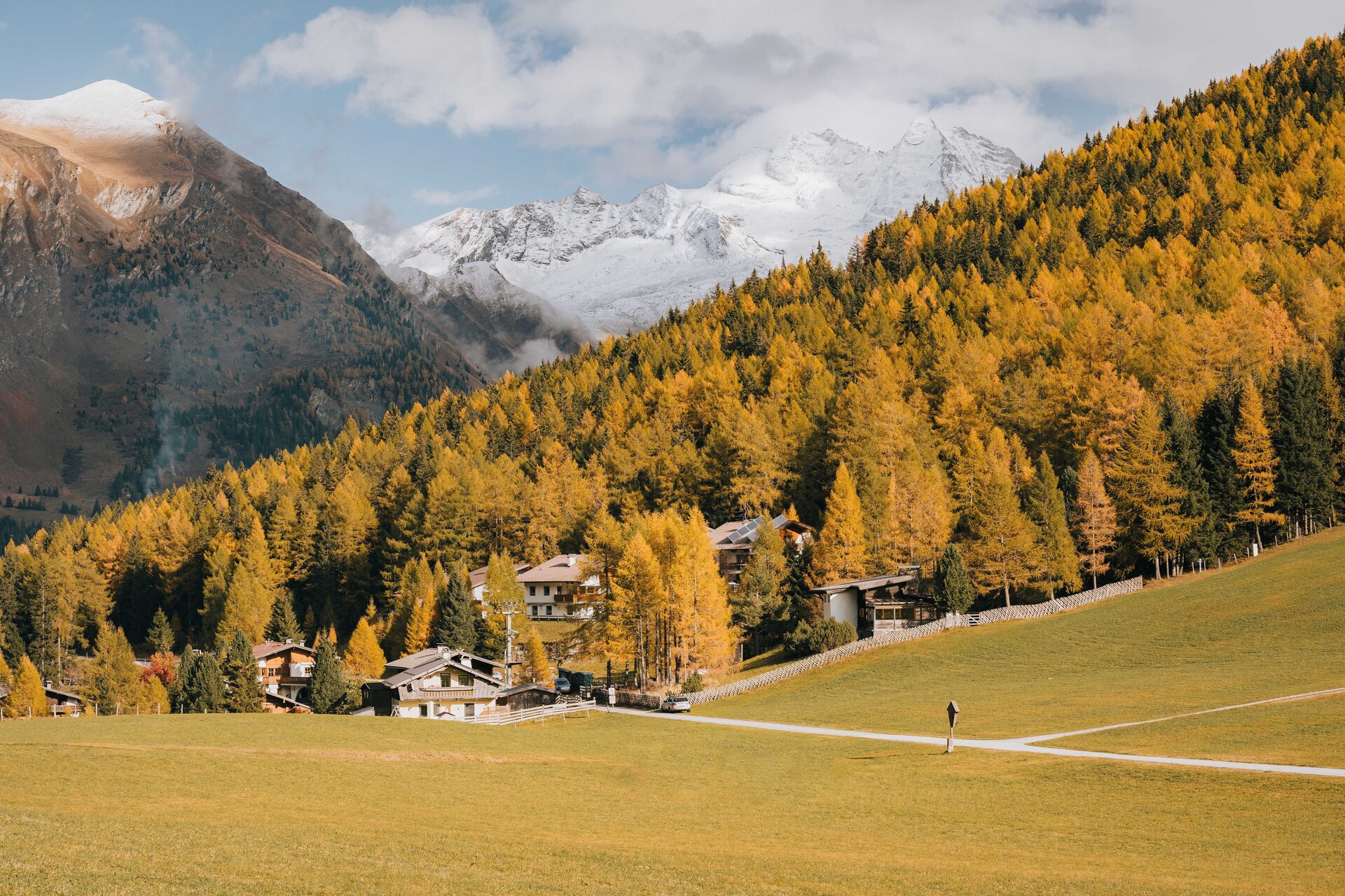
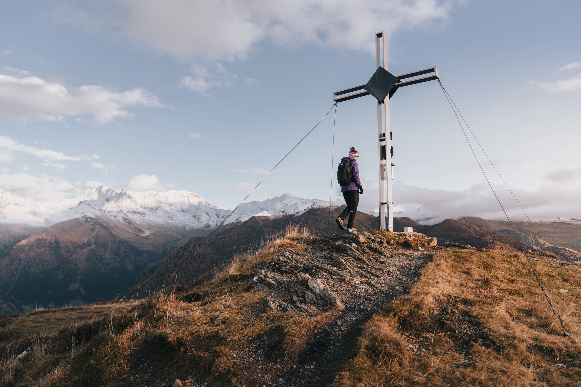
Starting point: Padaun parking lot
Elevation gain (Padaun – Padauner Kogel): 497 m
Ascent: 1.5 hours

This family-friendly fall hike leads up to the Durrachjöchl, a beautiful mountain with panoramic views at the end of the Schmirntal valley. Starting from the hamlet of Obern, the trail first winds through the narrow, rugged Kluppental valley to the beautifully situated Kluppenalm with its rustic huts. The trail then continues in a curve, first along the valley floor and later steeply uphill across the mountainside until you reach the ridge and thus the highest point of the hike. You’ll be rewarded for the effort of the ascent with a fantastic view of the Schmirn Valley, and you can also admire the Olperer and Fussstein peaks. The trail now descends gently along the ridgeline through flowering meadows toward the Durrachjöchl cross. After a long rest, the route winds downhill past avalanche barriers in switchbacks back down into the valley.
Starting point: Obern parking lot (at the end of the Schmirn Valley)
Elevation gain: 550
Ascent: 1 to 1.5 hours


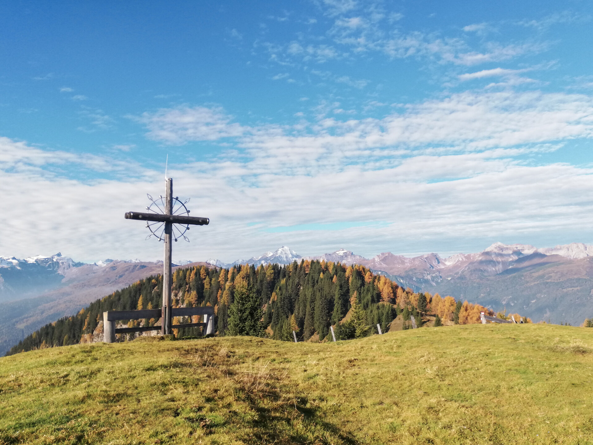
The hike starts directly in Hochgenein. From the Edelraute parking lot, the road leads out of the valley to Hochgeneiner Hof, where the trail branches off. On some days, the final destination can be the Hochgeneinerjöchl with its special summit cross. However, if you are still in good physical condition, it is definitely worth continuing along the path towards Sumpfkopf. Following the ridge in a westerly direction, first through the last forests and later through mountain meadows, the hard-working hiker reaches the longed-for final destination - the Sumpfkopf.
There are two different ways to descend. One is to go back the same way or you can do a short circular walk. In the hollow just behind the cross, you head downhill. After a short, crisp descent, you then follow the small path in an arc back through pine forests and flowering meadows, past the natural biotope "auf der Lacke". This part of the tour is particularly beautiful, where you can observe many different plant species, birds, amphibians and insects. But everything beautiful has an end and eventually you reach the ridge again and the trail junction, including the turn-off into the Padastertal valley.
Starting point: Edelraute parking lot
475 m ascent (Hochgeneinerjöchl) / 845 m ascent (Sumpfkopf)
Ascent Hochgeneinerjöchl: 1-1.5h / Ascent Sumpfkopf: 2 - 2.5h
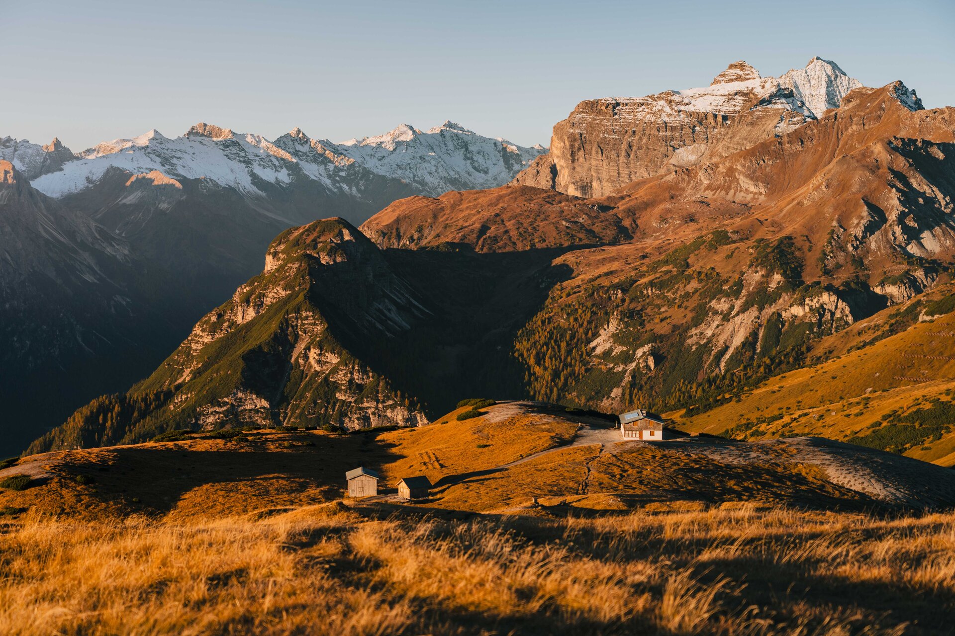
Even in its autumnal splendor, the Blumenberg offers a breathtaking natural backdrop and, thanks to its southern exposure, remains accessible well into late fall. If the snow is a little late in coming, you can even hike there into December. I took this hike a few years ago during a winter with little snow, not until December 30. At that time, there were only small patches of snow, but they were very easy to avoid.
The starting point for the hike is the Waldfest parking lot in Trins,which charges a fee. Trail No. 30 begins above the church in the Leiten district. The marked trail first leads uphill across a meadow, then out of the valley through the Platzerwald. On the way up, you cross the wide forest road leading to the Blaserhütte and stay on the trail. Once above the forest in the Mähdern, the trail rejoins the forest road. Follow this road to the Blaserhütte (open only until mid-September), and from there it’s just a few meters to the summit with its cross. The route to the hut is also well-suited for mountain bikes or e-bikes until early fall. The descent follows the same route as the ascent.
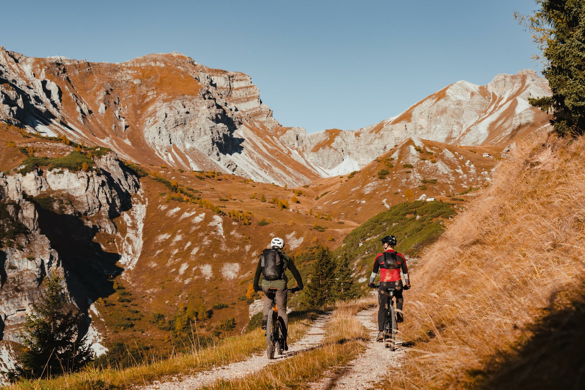
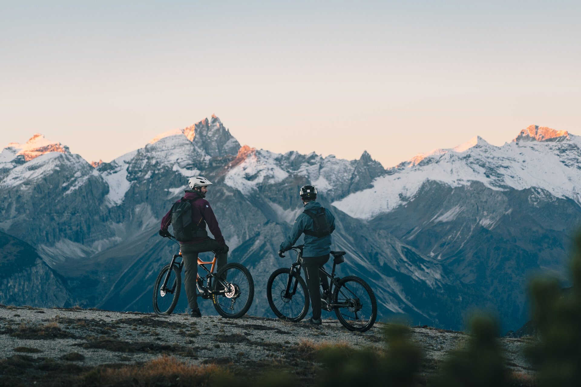
MTB Trail: 5059
Starting Point: Parking Lot 4, Waldfest
Elevation gain: 970
Route length: 10.4 km
Ascent time: approx. 2.5 hours (without an e-bike)
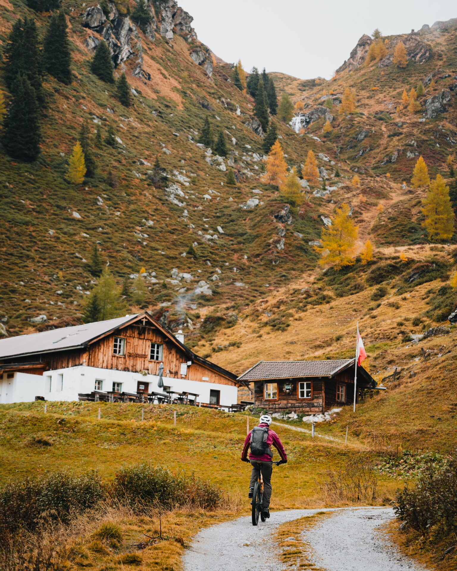
The tour starts at the Schranzberg parking lot and follows the forest trail along the Klammbach stream, past the Grüner Mühle mill, to the Grün parking lot in the direction of Peer Alm. The route runs partly through wooded areas but also includes sunny stretches all the way to the Peer Alm, which is open to the public. The forest trail continues through alpine pastureland to the Klammalm-Poltenalm/Naviser Hütte intersection. Turning left takes you to the Klammalm, which is open to the public; going straight ahead leads to the Poltenalm and the Schranzberghaus on the way to the Naviser Hütte. Here, you can choose to continue on to the Stöcklalm or cycle back along the final stretch of the gravel path to the starting point. If you’d prefer to stay on the sunny side, take the return route from the Klammalm back via the Peer Alm.
MTB Trail: 520
Starting point: Schranzberg parking lot
Elevation gain: 811
Distance: 14 km (entire loop)
Ride time: approx. 3 h
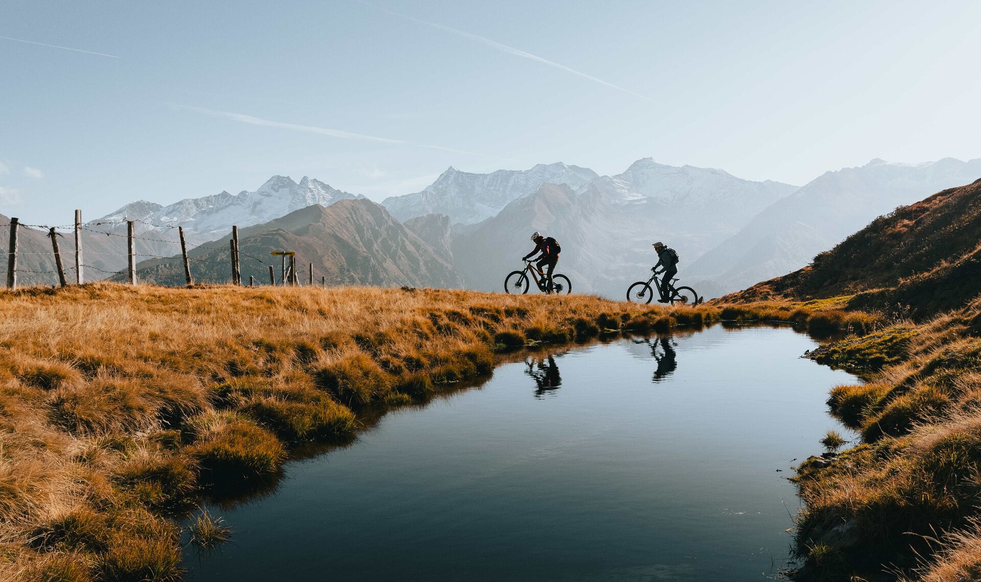
This scenic tour starts at the train station or the Sattelberg parking lot in Gries am Brenner. From there, drive about one kilometer along the federal highway to the hamlet of Vinaders, following the state road toward Obernberg the entire way. At the church in Vinaders, turn left past the parking lot and take the forest road through the woods to the Sattelbergalm . This is a good spot for a quick refreshment or to warm up—depending on the weather. From there, you can continue along the forest trail for another 1 km. It ends there, but you can turn right onto a steep path at the Sattelalm/Malga Sattel, ride up to the Sattelberg, and continue along the long border ridge loop to the Flachjoch, then take a trail back to Obernberg (5060/5065). This tour is quite challenging and is recommended only for experienced riders.
MTB Trail: 530 to Sattelbergalm, then not consistently marked—descent via Flachjoch to Obernberg 5060
Starting point: Sattelbergalm parking lot (Gries am Brenner train station)
Elevation gain: approx. 900
Distance: 15 km (entire loop)
Travel time: approx. 4–5 hours

Family Hike with Children in the Wipptal Valley - Gondola Ride,...

The Wipptal valley is home to impressive nature reserves...

A lovingly laid out course leads past the...