5 Spiritual Power Spots in the Wipptal...
Unique places with fascinating histories

A hut tour around the Olperer - the highest mountain in the Wipptal.
After my first hut tour last year, I was so enthusiastic that I wanted to do another long-distance hike this year. As there are two hut tours in our region, I ventured on the second one: the Peter Habeler tour. This high-altitude hike took us around the highest mountain in the Wipptal Valley in 5 days: the Olperer at 3,476 meters.
After briefly studying the documents and the route, it was clear that we had to cover a total of 56 km and 8,460 meters in altitude. There are 6 mountain huts on the Peter Habeler Tour, which means you can divide the hike into 7 daily stages. Of course, you can also shorten the tour and descend earlier if you don't have that much time, the weather is not suitable or you would prefer to combine the daily stages. However, this is only possible if you are in top physical condition and already have some alpine experience. In our case, we decided to skip the overnight stay at the Olperer Hütte and the Landshuter Europahütte because we didn't have that much time. We deliberately started the tour on a Sunday, as it is well known that there is less going on during the week. The huts are usually well booked, especially at weekends. This time we went in the first week of July and due to the large amounts of snow in winter, we had to cross a lot of snowfields along the way. With good shoes and hiking poles, however, it was quite doable. Thank goodness almost all the huts have boot dryers with heating rods!
The interactive map with route and description was very helpful for planning: Click here
Day 1: Vals parking lot Geraer Hütte (1,350 m) to Geraer Hütte (2,324 m), walking time: approx. 3 h
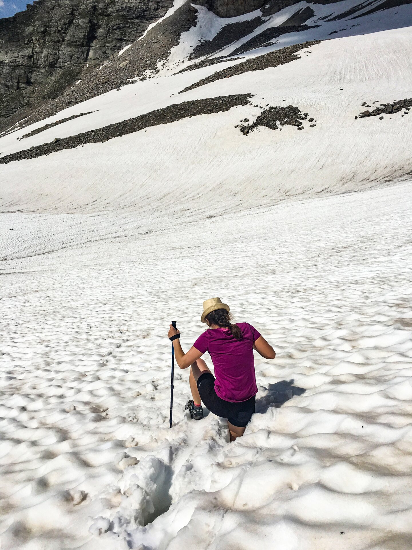
Due to the predicted heat, we started early in the morning in the mountaineering village of Vals, where we parked our car at the Geraer Hütte parking lot. A note in the car informed us of our intention so that we did not inadvertently trigger a search operation by the mountain rescue service. Better safe than sorry! After a 3-hour ascent, we reached the hut and as we were still feeling really fit, we went on an excursion to the former molybdenum mine below the Alpeiner Scharte at 2,850m. Very interesting! There was still a lot of snow along the way and we were constantly covered in snow up to our hips, especially on the way back. Of course, it was still a lot of fun, especially "skiing" over the soft snow fields. Our shoes were completely soaked though. In the evening, a very good meal and a well-deserved Aperol Spritz awaited us. It wasn't on the menu, but you can always rely on the Lanthaler family from South Tyrol! ?
Day 2: Geraer Hütte (2,324 m) to Tuxer Joch Haus (2,316 m), walking time: approx. 4 h
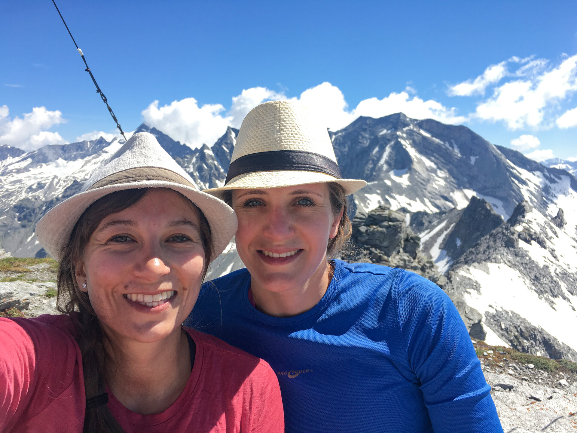
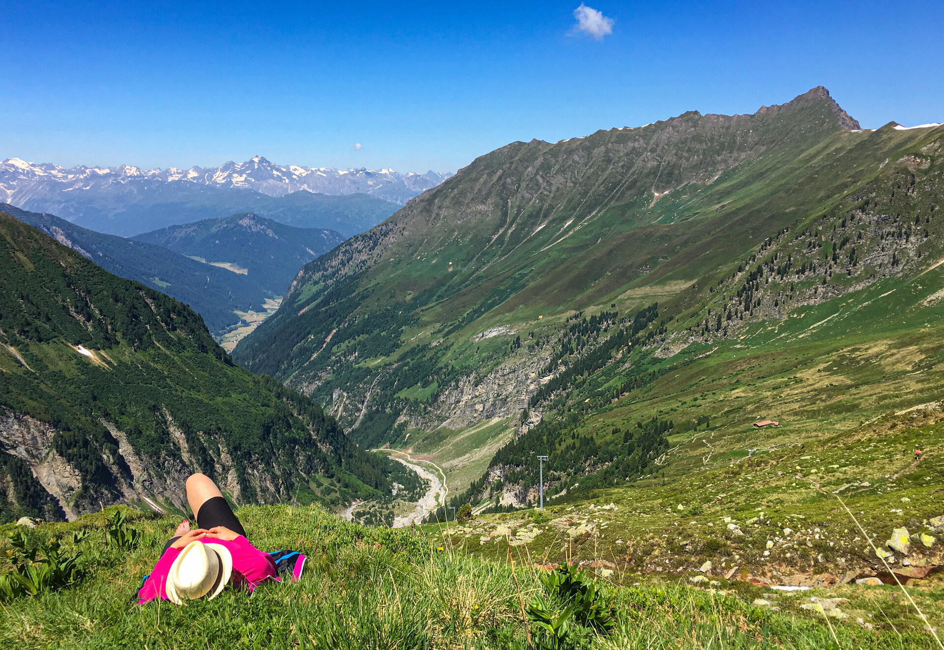
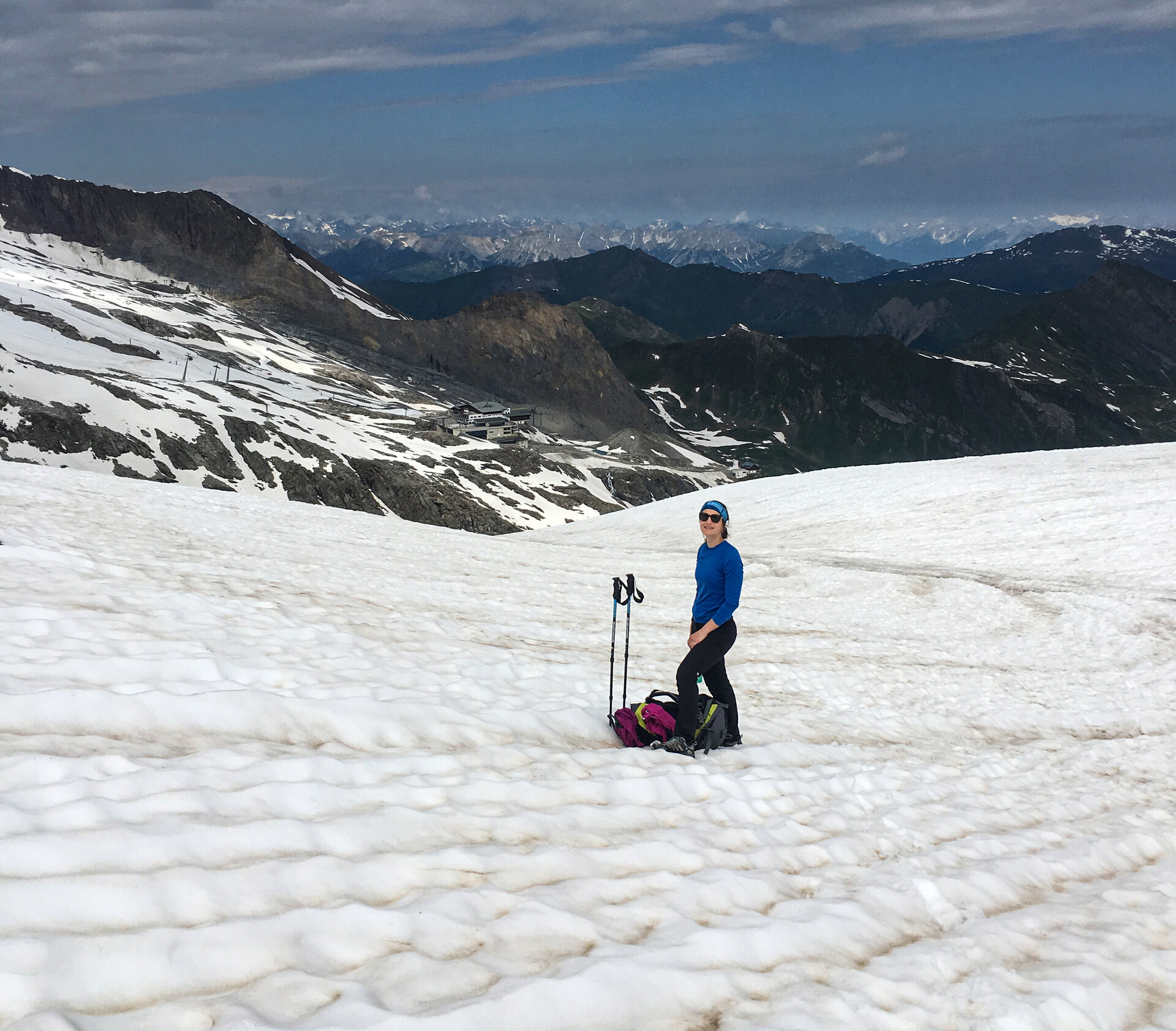
After an excellent breakfast buffet, we set off early towards the Tuxer Joch, as thunderstorms had been forecast for the afternoon. First we went to the Steinernen Lamm, the crossing to the mountaineering village of Schmirn, then on to the rear Wildlahnertal directly below the Olperer. It was an impressive sight with the masses of snow and glacier ice! At the Kleegrubenscharte, we decided to take a trip to the summit of the nearby Schöberspitze (2,602 m). There were wonderful views of the Zillertal Alps and the Ramsgruben lake below. After the Kleegrubenscharte, we descended into the Kaserer Winkl and crossed to the other side of the mountain at the far end of the valley. This was the start of a steep ascent to the Frauenwand, where we enjoyed the sun along the way. From the highest point, it was a less strenuous ascent and descent of around an hour to the Tuxer Joch Haus, which marks the transition into the Zillertal. We completed this section at a run because dark clouds suddenly appeared. It was still dry when we reached the hut, but after that it rained cats and dogs.
Day 3: Tuxer Joch Haus (2,316 m) to Friesenberghaus (2,498 m), walking time: approx. 5 h
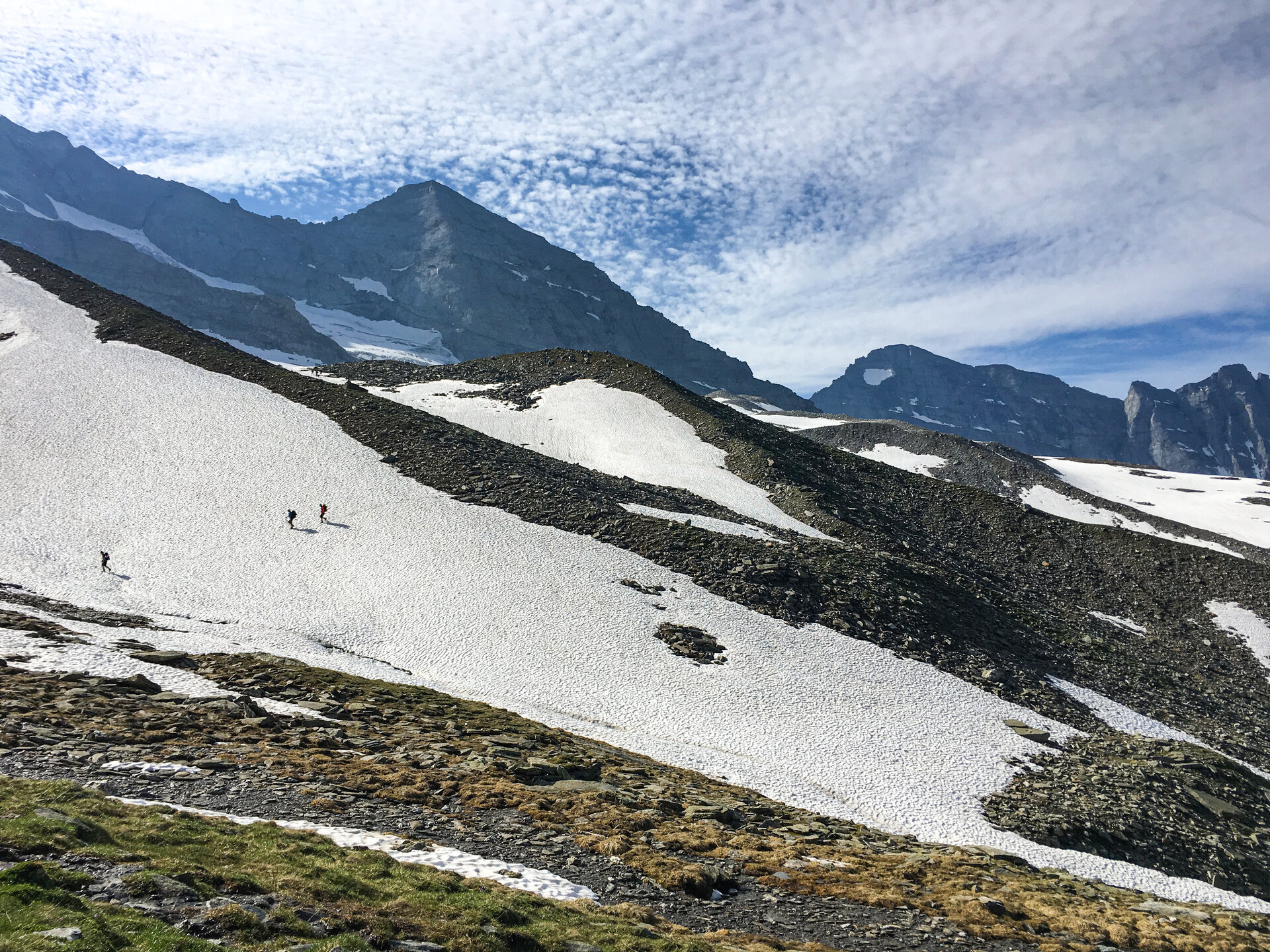
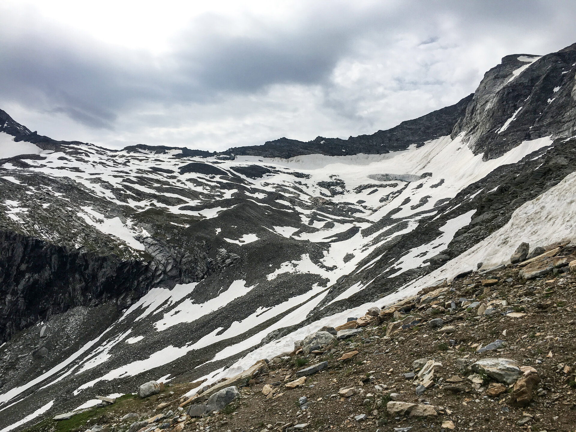
On the third stage, we had to make a decision in the morning because the Friesenbergscharte was basically still closed. Should we attempt the ascent or take the safer option of descending into the valley and taking the bus? After a long back and forth and a lengthy discussion with the hut owner and the other hikers, we followed our adventurous instincts and set off in the direction of Spannagelhaus and Scharte. The ascent through the ski area with the wide road and the gondolas above our heads was a little strange. There were countless marmots along the way. In hindsight, it was a reckless action because the weather wasn't entirely safe that day either. The path, on the other hand, was fine apart from the many snowfields. We reached the saddle at 2,911 m without any problems and even enjoyed a few rays of sunshine at the top. We then descended from the saddle to the Friesenberghaus, which was already visible. The descent was easy except for the last rope safety - but there was still snow there! We ended up slipping over the snow field and descended without a path in the terrain. Only further down did we continue on the marked path on the right above the rock faces near the lake to the hut. The lake was almost completely covered in snow. Once we reached the bottom, we treated ourselves to cake and coffee on the sun terrace. We were really glad to have survived the day in one piece!
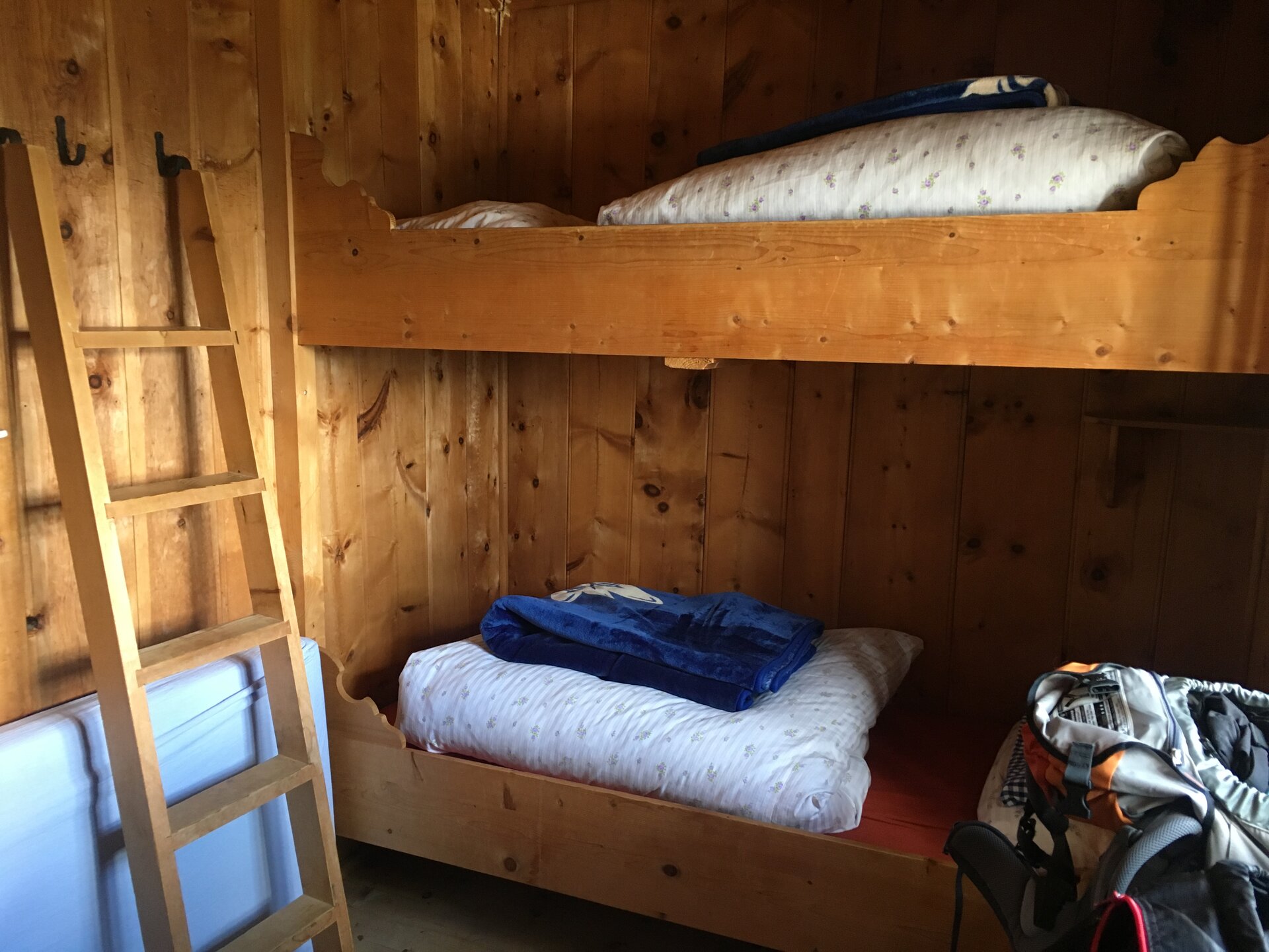
Day 4: Friesenberghaus (2,498 m) to Pfitscherjochhaus (2,275 m), walking time: approx. 6 - 7 h
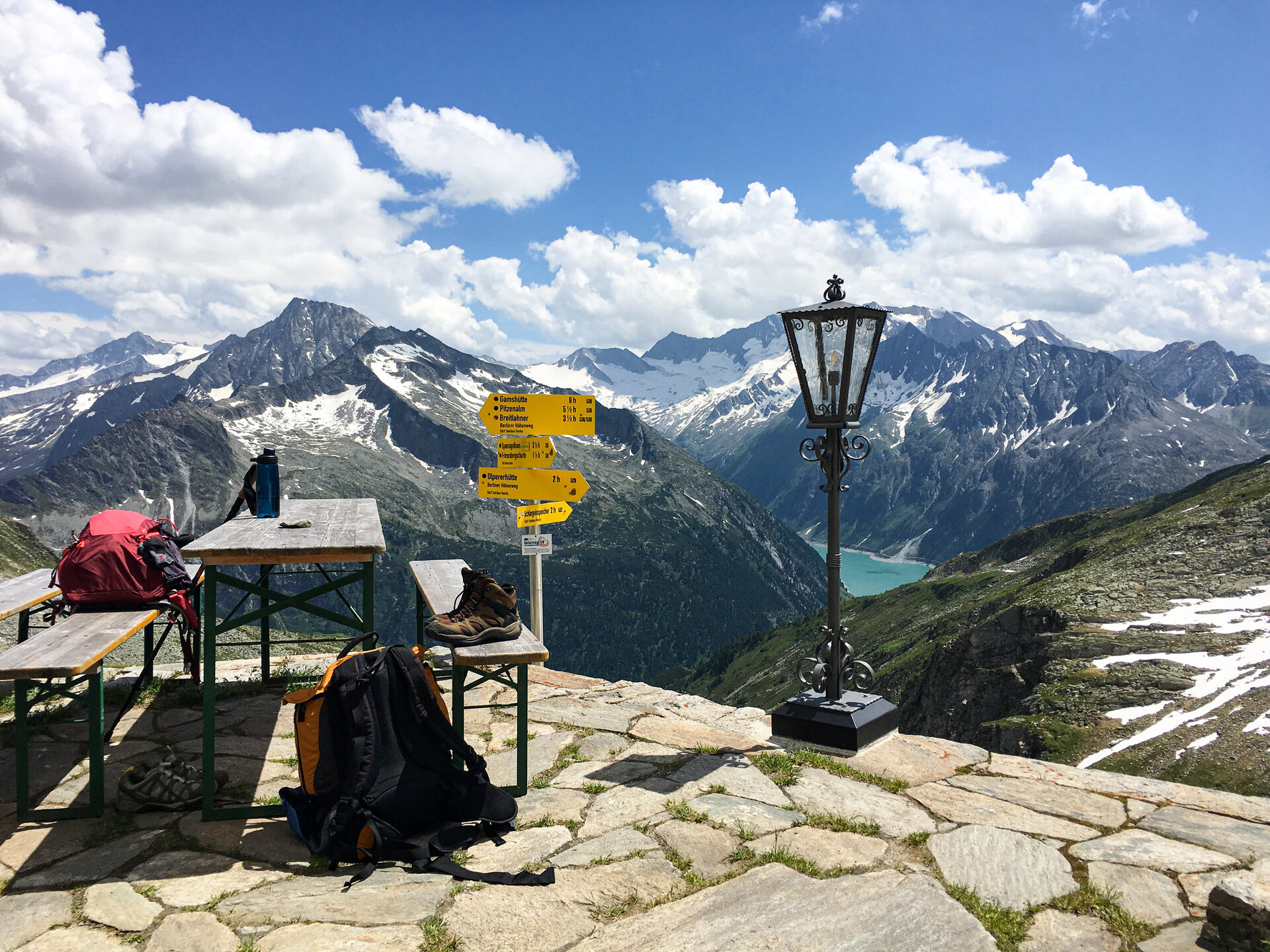
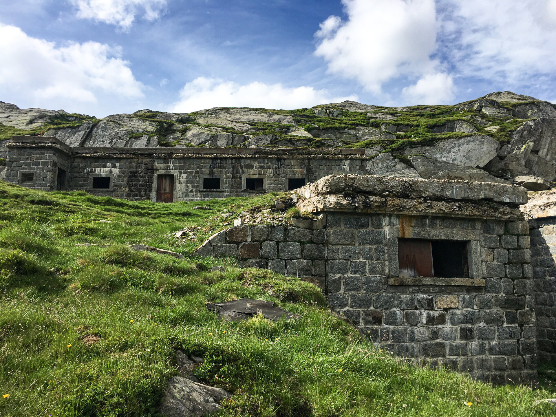
This stage led along beautiful high-altitude paths lined with rocks and stones without any difficult sections towards South Tyrol and offered wonderful views of the Schlegeis reservoir. We decided to skip the overnight stay at the Olperer Hütte, as it was only a 2-hour walk from the Friesenberghaus. Along the way we encountered marmots and numerous sheep, which showed no signs of shyness. Around lunchtime, dark clouds gathered from the south. We walked the last hour to the Pfitscher Joch, the crossing to Italy. It was already raining and rumbling all around us, but apart from a few drops over the last few meters, we miraculously stayed dry. As soon as we reached the hut, a storm came down with lightning and heavy rain. In the evening, the sky cleared and we explored the walls around the hut that were left over from the former border guard. An Aperol Spritz in the setting sun completed the vacation feeling. Due to its low location and easy accessibility, the Pfitscherjochhaus is less of a hut and more of an inn - it even offers the comfort of rooms with shower/WC.
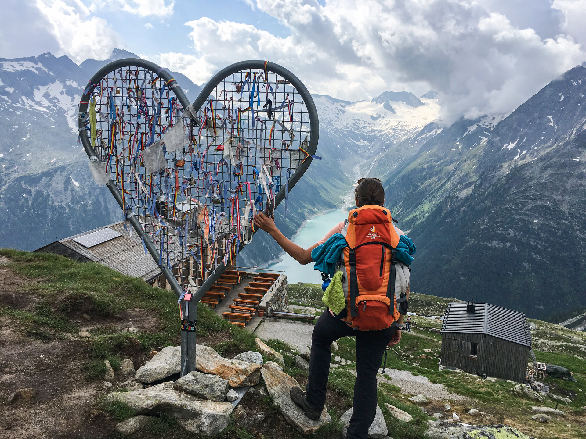
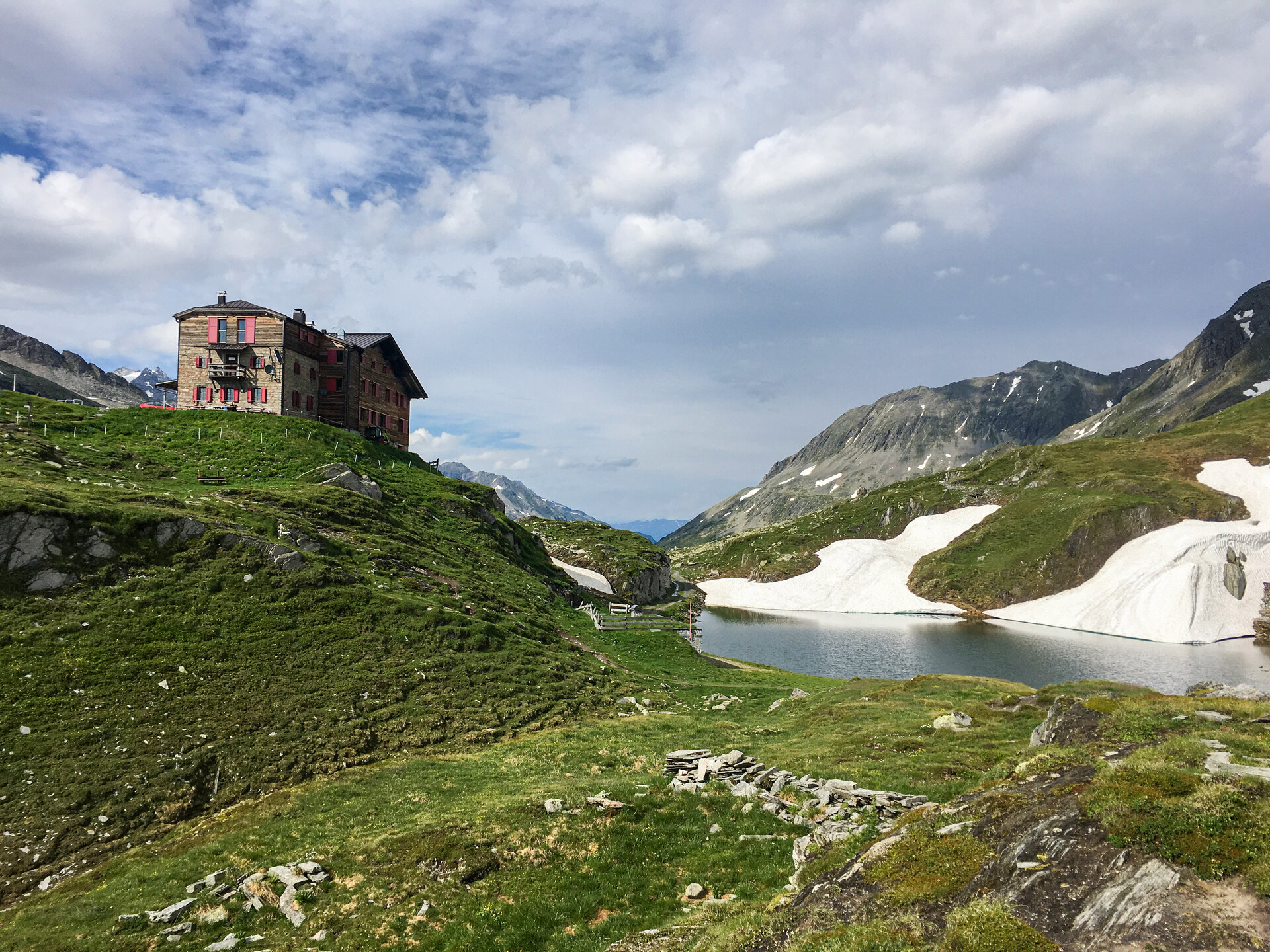
Day 5: Via Landshuter Europahütte (2,693 m) to the Vals parking lot (1,350 m), walking time: approx. 8 h
On the last day, a bright morning awaited us and, above all, a reliable forecast for the whole day. This meant we could take the whole day for the stage without any worries. From the Pfitscherjochhaus, we followed a historic cart track (straightened by stone walls and slabs and approx. 1 m wide), which was once used to transport materials and supplies for the Italian border guards, to the Landshut Europahütte. Shortly before the hut, we had to climb up to a hill on a snow-covered path with hairpin bends. This was probably the most difficult part of the route. After briefly thinking about it, we decided to climb the nearby Kraxentrager (2,999 m) before lunch. A rewarding view from the summit! Back at the hut, fortified by lunch and the interesting stories told by host Helmut Holzer from the time of the smugglers, we set off on our descent into the Valsertal valley. Via the Sumpfschartl and the Lange Wand (watch out for the ladder!) we made our way down to the Zeischalm and finally back to the Geraer Hütte parking lot.
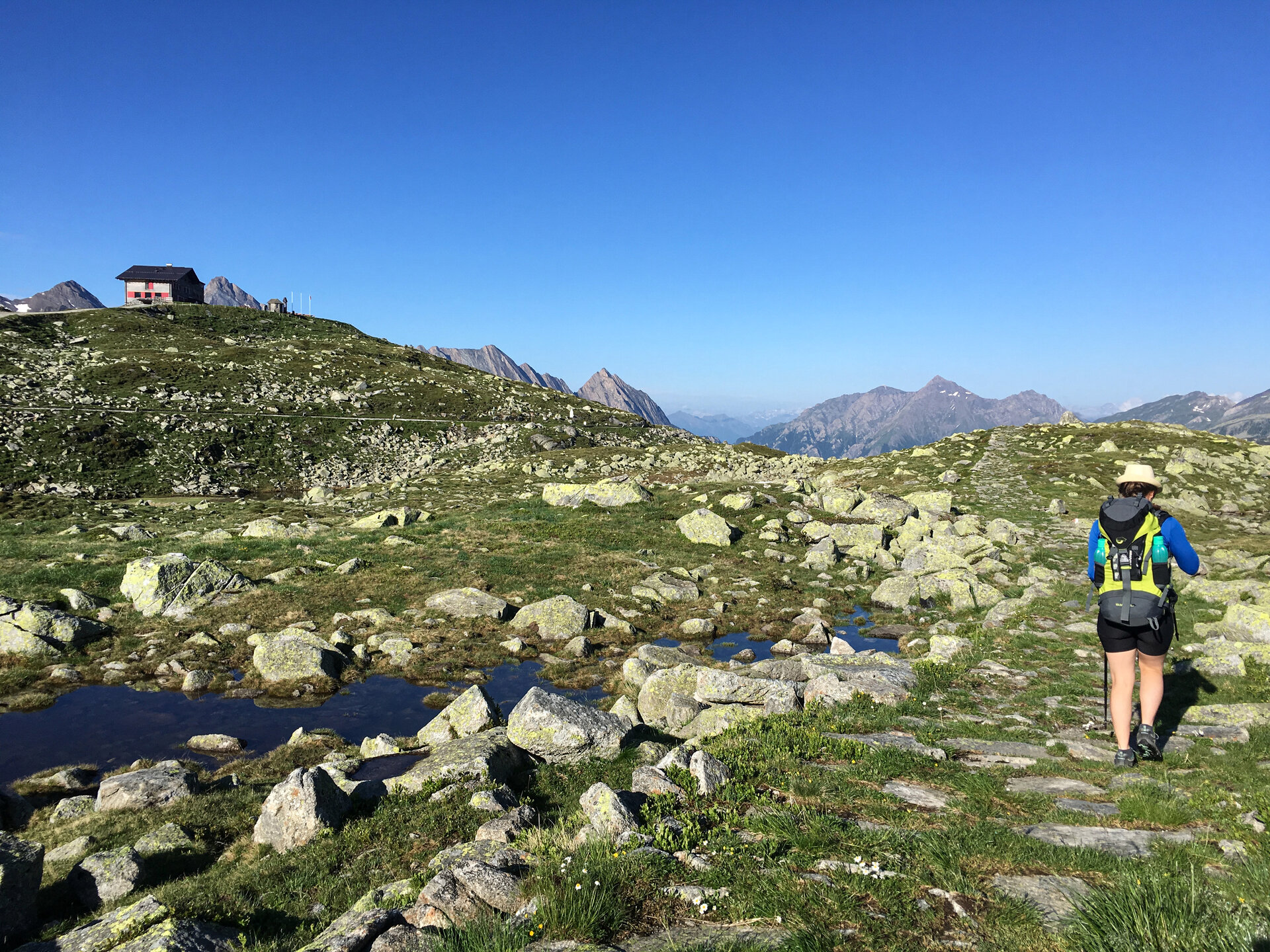
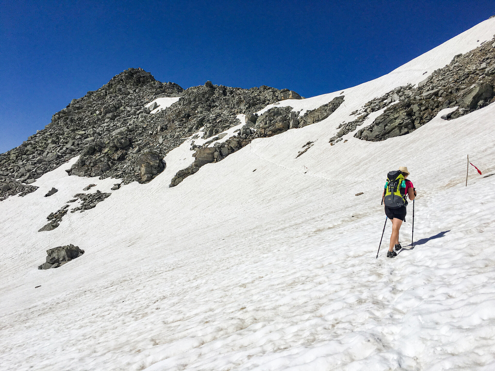
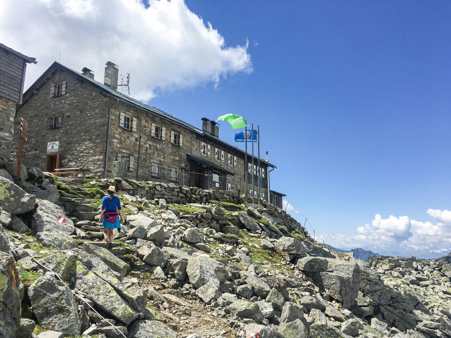
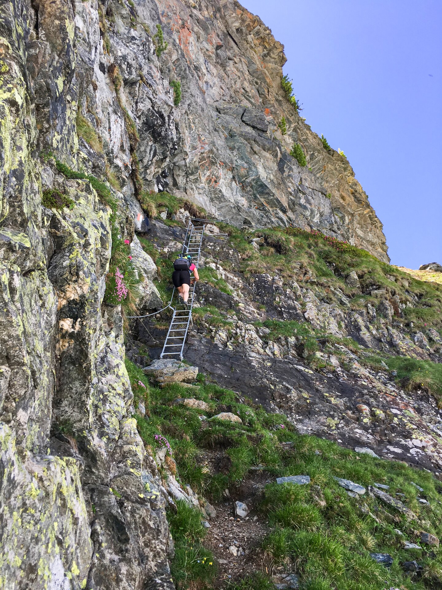
The stages are generally somewhat easier than on the Gschnitztal hut tour, which is why we made short excursions to surrounding peaks and to the former molybdenum mine below the Alpeiner Scharte. Nevertheless, the tour is classified as moderate to difficult because, apart from the stages between Friesenberghaus and Landshuter Hütte, you have to overcome more difficult sections with rope passages and steep terrain. The key sections of the entire tour were the descent from the highest point, the Friesenbergscharte, to the Friesenberghaus with several rope passages and very steep rocky terrain and the descent via the "Lange Wand" into the Valsertal, where you have to descend via a ladder with rope protection.
Conclusion: A very scenic hut tour, but with less solitude on the mountain. Here you will meet many other hikers with interesting stories and different destinations. The paths are well maintained and marked, but you still need to be sure-footed and have a head for heights. There are black mountain paths on the high-altitude hike, even though it is generally classified as moderately difficult.
In any case, we enjoyed our time together in the mountains and are already thinking about our next tour... Berg Heil!